Open 3D Worlds
Ever wanted to create a game in which you race speedbikes full tilt through the narrow streets of London without worrying about the congestion charge? Now’s your chance. OSM2World allows you to pick up chunks of the world and represent it in 3D, export it to other programs and create videos and games using free data.
OpenStreetMap is the Free Software community’s answer to Google Maps. Volunteers walk the world with GPS tracers strung around their necks (literally!), recording each twist and turn of streets, lanes and alleys. Others trace maps using the OSM online utilities, or open source software you can download to your computer, or even to your phone.
Now you can also visually pick up a chunk of data from OpenStreetMap and see it in 3D and convert it to other formats using a neat little Java app called OSM2World. Download the program from OSM2World’s site and just decompress it into any folder. cd into the folder and run it with
java -jar OSM2World.jar
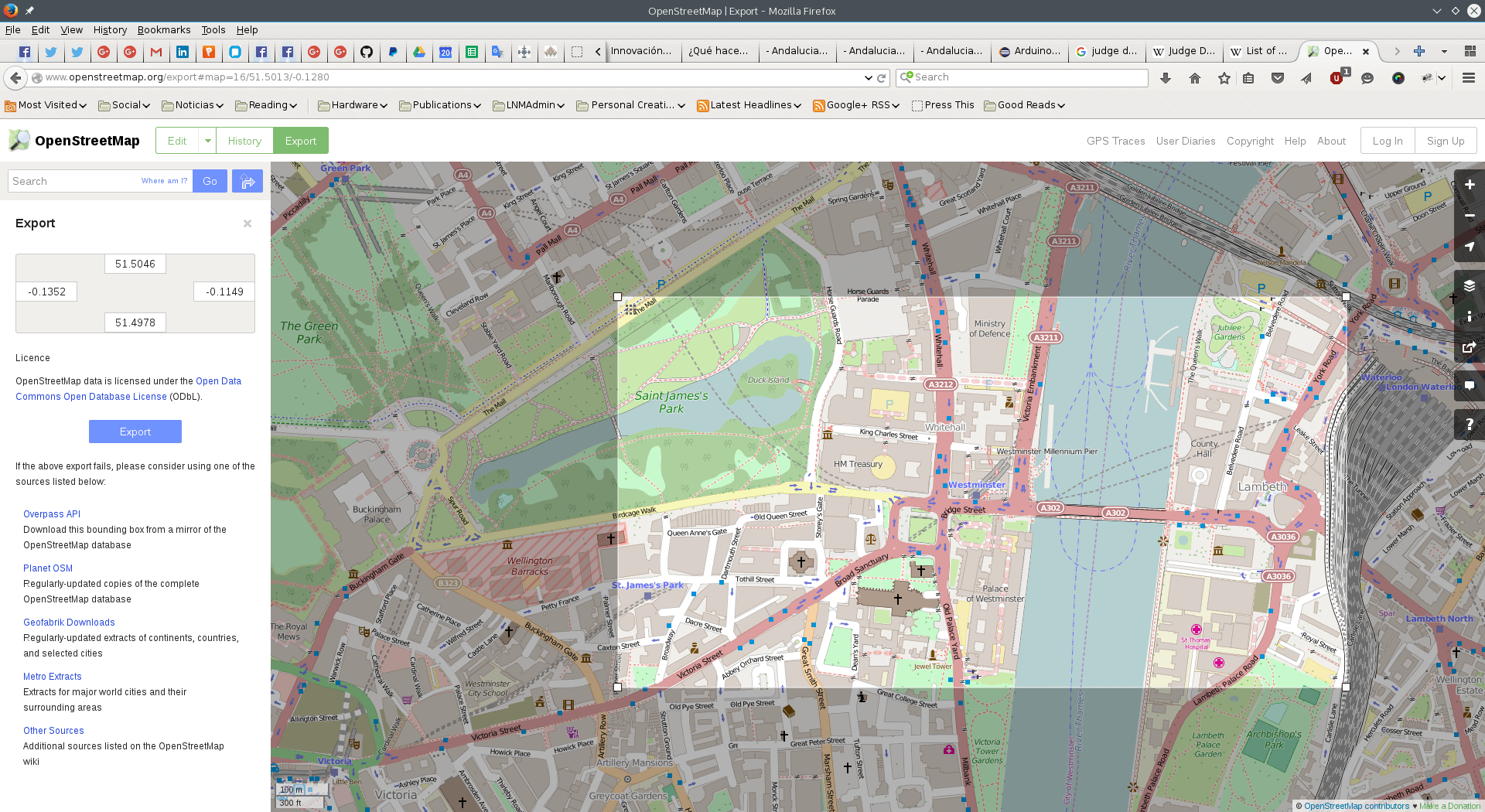
To grab data from Open Street Map, use the map on the project’s site. Zoom in onto the area you want, click on Export at the top of the site and on Manually select a different area in the box that appears on the left.
A highlighted rectangle will appear. Use the handles to select the region you’re interested in. Don’t make it bigger than say, a dozen blocks, otherwise the processing needed to render a 3D version of the area will be too intensive and you could crash the program or even your computer.

Do choose a centric area in some well-known city. Cities like London, Paris, New York, and so on have a lot of metadata that can tell OSM2World about the 3D structure of buildings and famous landmarks which make the visualisation more interesting. In areas where this data is absent, buildings are quite flat and drab.
When you have chosen the area to export, click the Export button on the left, and save your file.
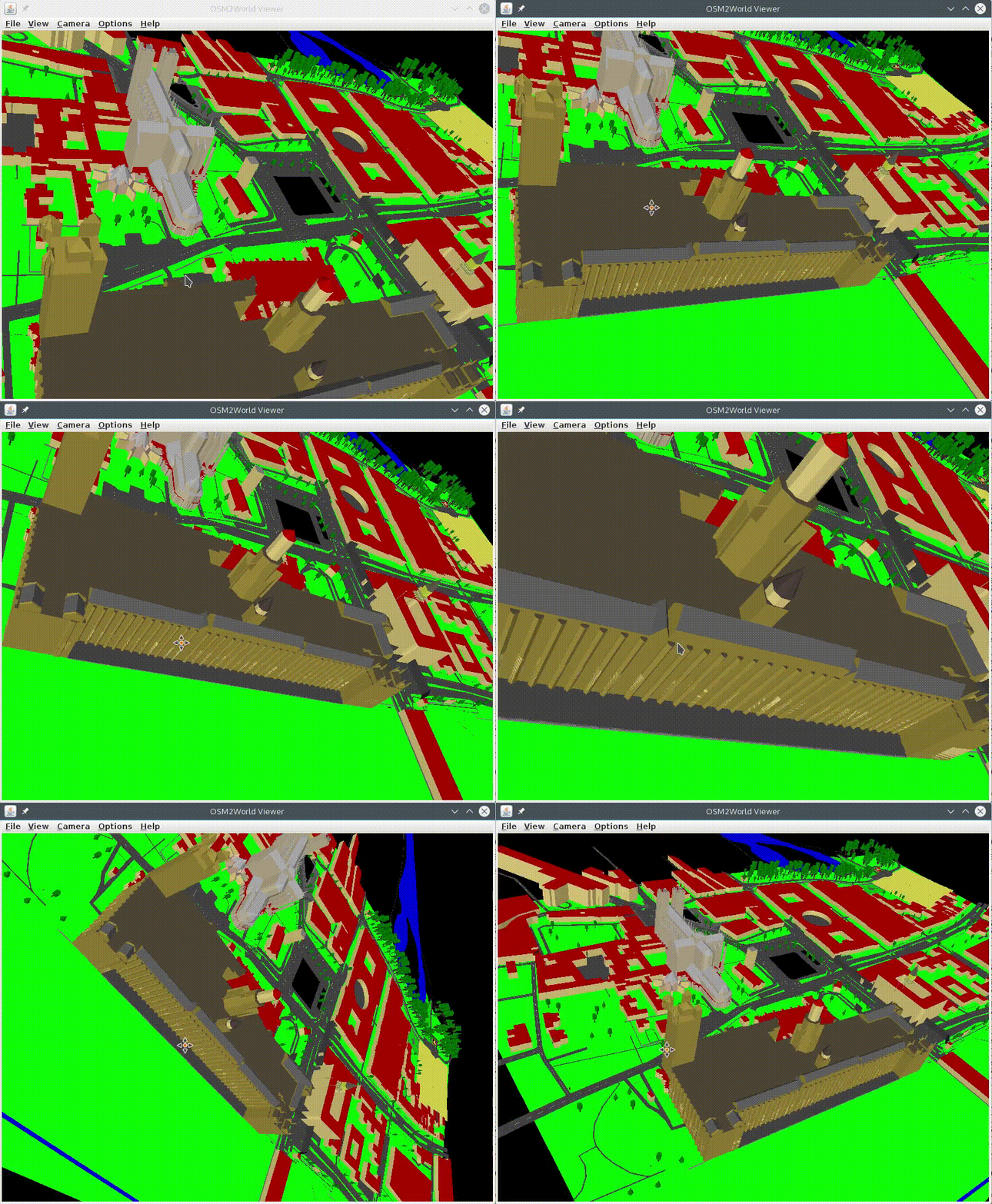
Load in the OSM file you have just grabbed using the File menu in OSM2World. If the map contains 3D data for buildings, you’ll be able to see them as 3D models. If there’s texture data attached to the buildings, you’ll be able to see that too. If there is no 3D data, OSM2World does its best, but buildings will tend to be of incorrect height and coloured in a rather ugly red. Use the mouse buttons and wheel to pan, zoom and rotate your 3D map.

From within OSM2 World, choose File > Export OBJ file to export the data. OSM2World can also be used from the command line, allowing you to batch process large amounts of files.
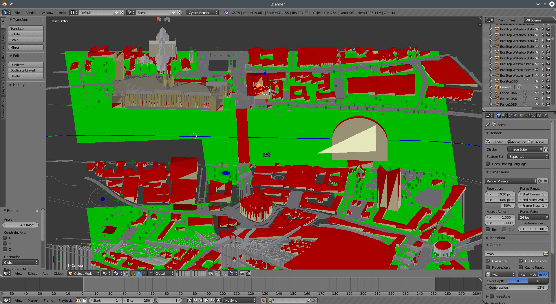
When you’re done converting, you can then pick up your files in the likes of Blender. You can manipulate the 3D data, render it, create animations, or use the data in games.

Ready to race?
Cover Image: Blocks by Pete Linforth for Pixabay.com.
nice but bug